Click to enlarge
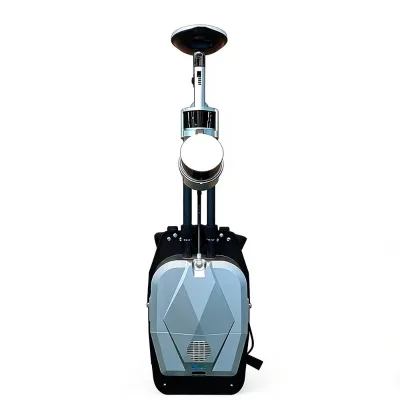
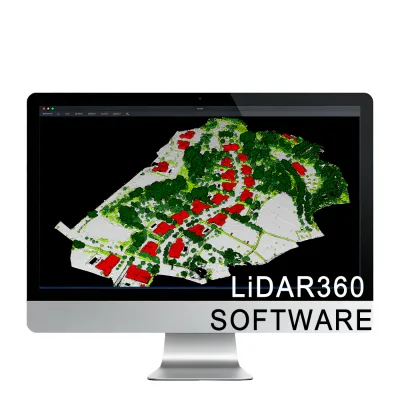
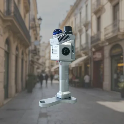
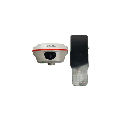
Kolida K60 GNSS Receiver with Integrated Laser Ranging and Visual 3D Modeling, Ideal for Complex Terrain Engineering Survey
Shandong, ChinaShandong Tongyuan Surveying And Mapping Technology Co., Ltd.
US$2450.00 - 2500.00
Lead Time
| Quantity | 旺季 | 淡季 |
|---|---|---|
| 1 - 5 | 15 days | 15 days |
| > 5 | To be negotiated | To be negotiated |
Product profile
- SBAS
- L1*
- customized support
- OEM
- brand name
- KOLIDA
- GPS
- L1C, L1C/A, L2C, L2P(Y), L5
- waterproof
- IP68
- Product name
- GNSS RTK
- Product Model
- K60
- place of origin
- Shandong, China
- QZSS
- L1, L2C, L5*
- Single package size
- 45X25X38 cm
- IRNSS
- L5*
- GLONASS
- G1,G2, G3
- Single gross weight
- 20.0 kg
- Battery Life
- 25h (static)20h (rover mode, optimal condition)
- Selling Units
- Single item
- Galileo
- E1, E5a, E5b, E6, AltBOC*
Company profile
Shandong Tongyuan Surveying And Mapping Technology Co., Ltd.
山东同元测绘科技有限公司Shandong, ChinaRoom 613-1, Building 8, Shangang Xintiandi, No. 61-11, Gongye South Road, Jinan Area, China (shandong) Pilot Free Trade Zone Jinan Shandong China- CertifiedTrade Assurance
- Business Type: Trading Company
- Established: 2016
- Employees: 11 - 50 People
- Annual Export Value: US$10 Million - US$50 Million
- Avg. Response Time: ≤ 2h
Main Products
- total station
- GNSS RTK
- GPS receiver
- Level
- range finder
Main Markets
Africa(20.0%), South Asia(15.0%), Central America(10.0%), Domestic Market(10.0%), South America(10.0%), North America(10.0%), Southeast Asia(10.0%), Eastern Asia(5.0%), Mid East(5.0%), Northern Europe(5.0%)